THE GEOGRAPHY OF THE ISLAND
Pantelleria, with its 80 square kilometers of surface area within a perimeter of 50 km, is by extension the fifth of the Italian islands. It is located in the center of the Sicilian channel, closer to the African coasts than to the European continent, exposed to the sirocco winds, the east mistral which, together with the scarce rainfall, characterize the climate. Its territory, of volcanic origin, presents a trend predominantly hilly, culminating in the Big Mountain, with its 836 meters above sea level. It is an extraordinarily varied island and particularly appreciated for its countless beauties. Some are linked to natural environments, to the black, rocky and jagged coasts, and to the still clear sea, populated by numerous species of fish fauna. Others are linked to the agricultural landscape, which is strongly characterized by widespread terraces bordered by hundreds of kilometers of dry-stone walls. Other aspects particularly appreciated by visitors are the archaeological riches widely present on the territory as well as on the seabed. These are finds that excavations continue to bring to light and that refer to a thousand-year history.

THE HISTORY OF THE ISLAND
The geographic location in the heart of the Mediterranean makes the island coveted by the many peoples that sail the sea in search of new lands to conquer and new products to trade. The people of Sesioti are the first to reach Pantelleria by sea attracted by the black and very hard obsidian stone of which the island is rich. Thus around 5000 years ago, in the Neolithic age, the first human settlement was born, of which we find numerous traces in the area of Mursia. Later the Phoenicians, the Greeks, the Carthaginians, the Romans, then the Byzantines and the Arabs succeeded one another, later the Swabians, the Angevins, the Aragonese and the Bourbons. Each people marks, more or less deeply, the territory, the history, the culture.

HUMAN ACTIVITIES
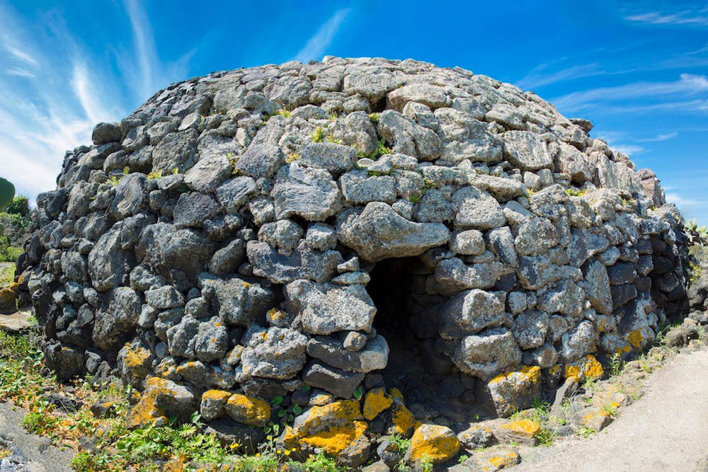
Pantelleria lives mainly on agriculture and tourism. While tourism has developed strongly only in recent decades, and fishing has never reached truly significant levels, agriculture has always been the leading sector of the local economy. To testify the consistency of the tourism sector, the island landscape is increasingly punctuated by numerous buildings in local stone, the characteristic dammusi, converted from rural buildings to structures of tourist reception. However, the anthropic element that mostly characterizes the island is the rural landscape with its terraces bordered by dry-stone walls. They are the testimony that over the centuries human activity has been largely engaged in an incredible work of tillage and construction which, at the price of a very hard work, has made it cultivable up to the smallest piece of land. It is particularly hard to work this land, which does not lend itself to the use of mechanical means and has to deal with the scarcity of water, but the effort is amply repaid by the intense flavor of its fruits which have always been known and appreciated all over the world : the caper and the zibibbo grapes, from which the precious passito is obtained.

WEATHER CONDITIONS IN PANTELLERIA
HOW TO REACH PANTELLERIA
The island of Pantelleria has a port and an airport that guarantee daily connections from Sicily. Specifically, the island is connected by two flights to / from Trapani and Palermo and two ferries to / from Trapani. Flights to / from Sicily are operated by the company DAT (Danish Air Transport), the ferries are headed by shipping companies Ferries of the Islands and Compagnia delle Isole. During the summer the island is connected with direct flights from the most important cities Italian: Catania, Rome, Venice, Verona, Bologna, Milan, Bergamo and Turin. The airlines that deal with these connections are: Blu-Express, Volotea, Alitalia and Air Orizont. In addition to direct flights, always during the summer period, a hydrofoil ride from Trapani is added, a fast ship that allows you to reach the island in just over two hours.
